
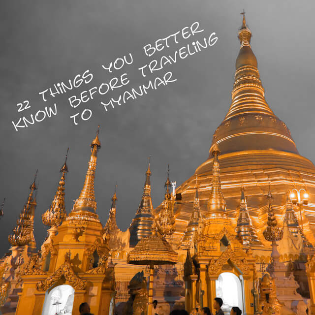
Landmannalaugar and Thorsmork – Best of the Laugavegur Trail
If you were to make a list of all the bucket-list landmarks in Iceland, it would be about as long as the sagas of old. However, when it comes to hiking, two locations stand out as the creme of the crop—Landmannalaugar and Thorsmork.
Known for being the respective start and end spots of the Laugavegur Trail hiking tour, these valleys host some of the most iconic vistas you’ll find in the land of the Vikings. Join us on a voyage to hiking Valhalla!
Landmannalaugar Valley

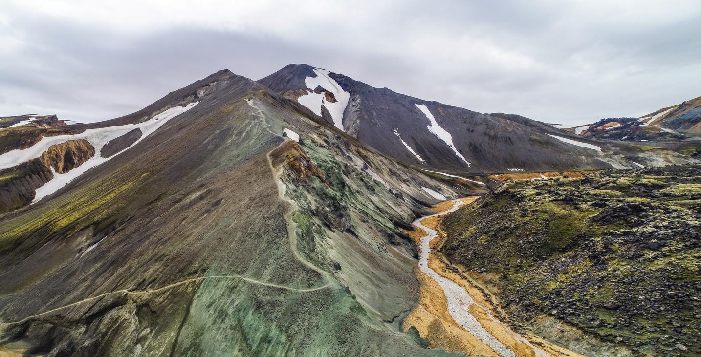
The rhyolite forming the mountains of Landmannalaugar gives them their signature polychromatic hue.
Landmannalaugar, or the “People’s Pools”, is a geologically and aesthetically unfeasible area of Iceland. Here, pitch-black lava fields border rainbow-colored mountains, and snow-capped summits overlook steaming geothermal pools. It’s a land of contrasts, illogicality, and otherworldly beauty.

In Landmannalaugar, you can round the corner of a mountain and stumble into a completely different world.
Throughout history, the valley played the role of a geothermal retreat, with droves of weary settlers stopping to reinvigorate in the geothermal pools before proceeding with their journey. This tradition continues on through trekkers, who discovered that, after a long day’s hike, nothing soothes the muscles like a dip in nature’s own hot tub.

Hikers from all over the world are drawn to Landmannalaugar for the unique trails and photo-ops.
The mountains encircling the valley owe their kaleidoscopic color palette to rhyolite, the magmatic rock forming its flanks. The fluctuating hues of pink, red, yellow, green, and blue make walking through Landmannalaugar feel like a trek through a dream.
Hiking up Brennisteinsalda or Blahnukur is highly recommended for anyone looking to see the valley in its full, sprawling glory.
The best day hikes in the valley take to the flanks of the surrounding mountains. Brennisteinsalda is a short, beginner-friendly trek up the side of a rhyolite crater. It blends all the elements you’d expect from a Landmannalaugar hike: lava fields, geothermal features, and ethereal panoramas. The Blahnukur volcano hike is a more demanding option, but you’re rewarded with views of five different glaciers on clearer days.
Thorsmork Valley

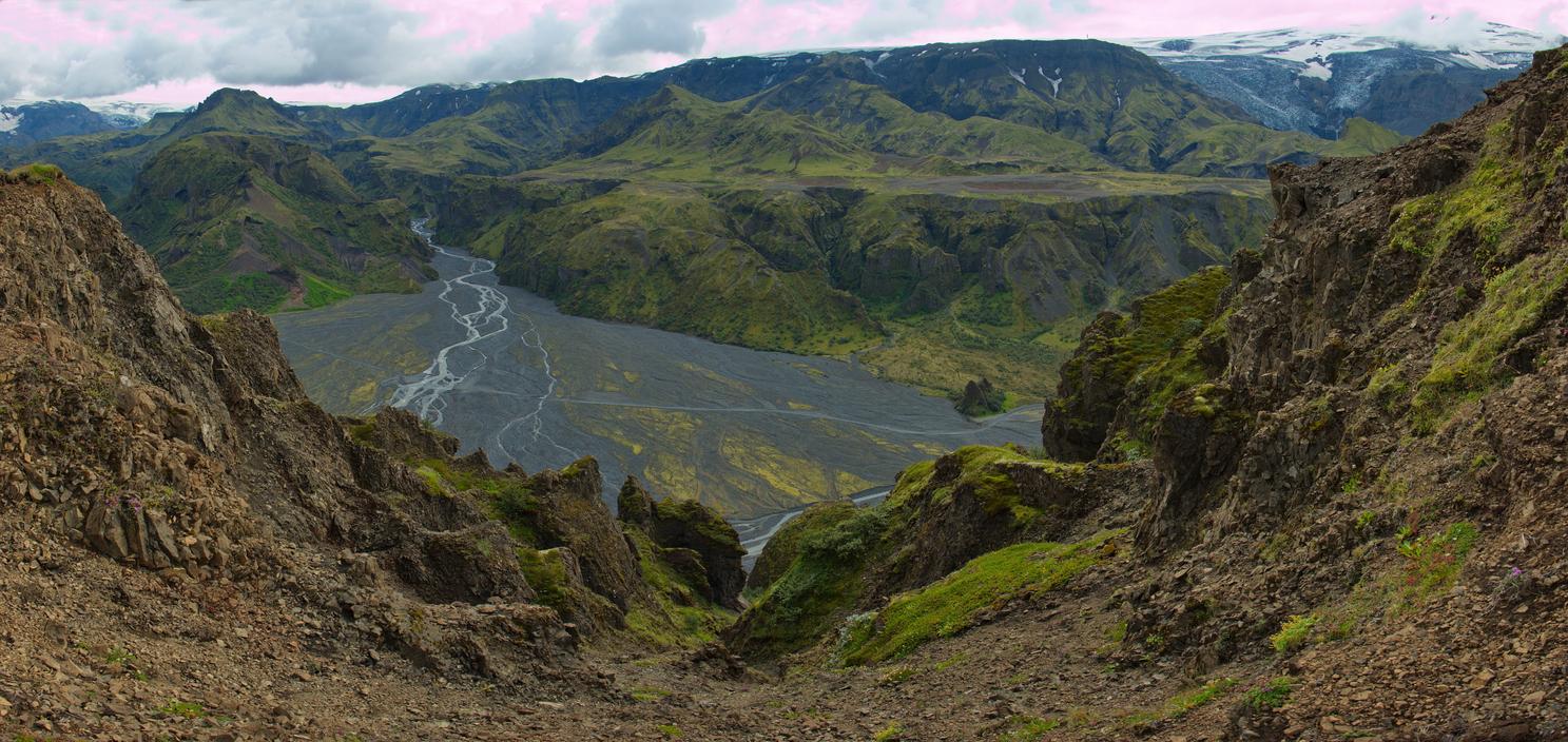
Thorsmork Valley is much greener than you would expect. Then again, Iceland is known for defying expectations.
It might be a bit more reserved, but Thorsmork is still full of surprises. Huddled beneath three massive glaciers, Thorsmork valley is one of Iceland’s greenest nature reserves, packed with moss, birch forests, black deserts, and river-carved volcanic valleys. Named after the god of thunder, It’s one of the most electrifying hiking spots in Iceland’s South Highlands.
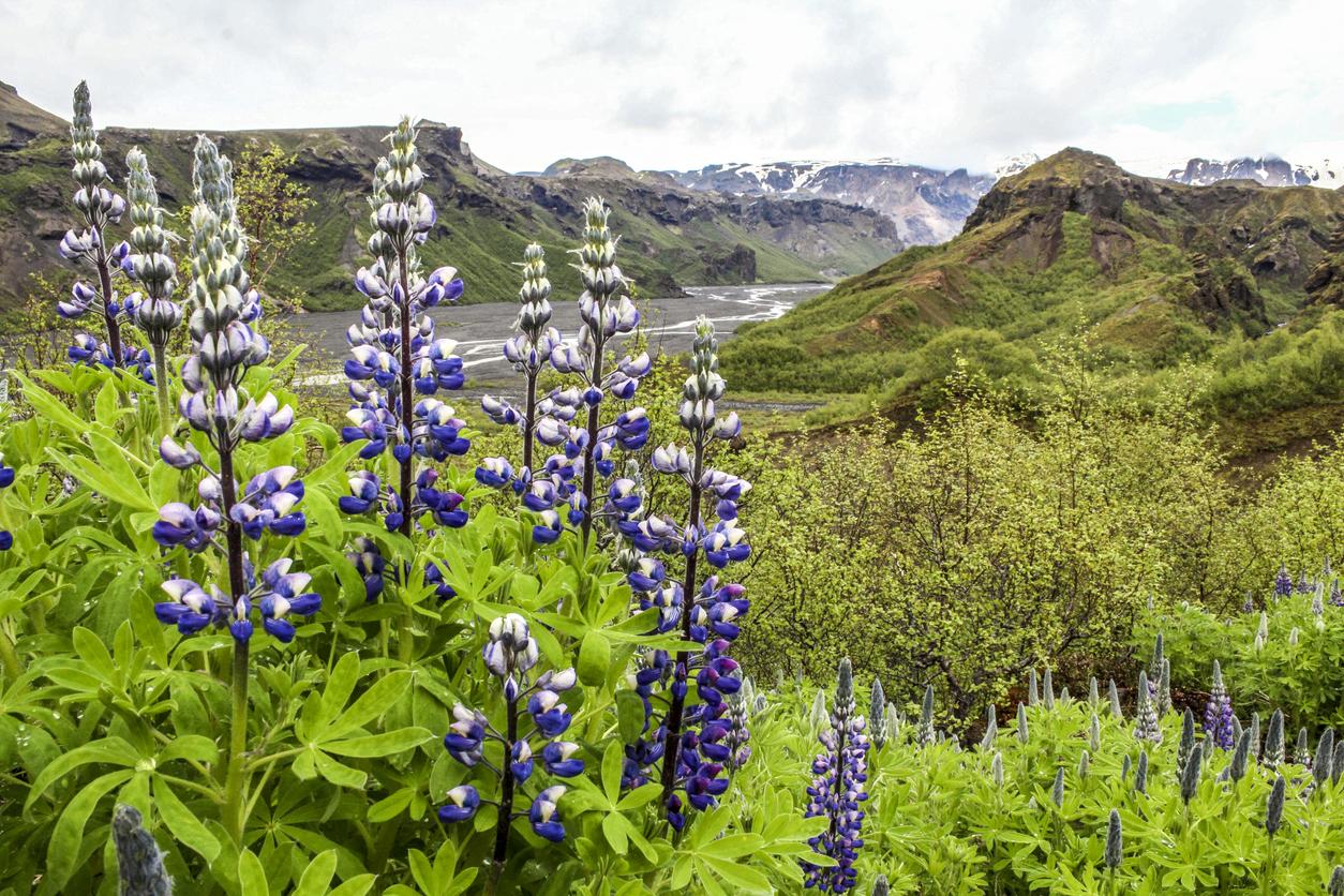
While you won’t find many flowers in Iceland, Arctic lupines are tough and stubborn enough to thrive in Thorsmork’s harsh conditions.
Before you ask, no, Thorsmork doesn’t owe its name to a lightning strike problem. In Norse mythology, Thor is also associated with power and fertility, and Thorsmork is one of the most fertile places in Iceland. The valley owes its lush vegetation to its surrounding glaciers, sheltering it from the cold winds and nurturing a warmer, more pleasant climate.

Thorsmork is synonymous with hiking in Iceland, and it serves as the end-point for some of the greatest hikes in the country.
Thorsmork is the end-point of the two most iconic hikes in Iceland: Laugavegur and Fimmvörðuháls. However, it also boasts a phenomenal trail network, with a wide array of day hikes for trekkers of all skill levels. The Thorsmork Panorama hike is a mild two-hour ascent up Valahnúkur mountain, with an impressive view of the valleys below.
The impressive overlooks on Valahnukur mountain are easily reachable for nearly all levels of hikers.
The Tindfjöll Circle is another fun option, albeit for more experienced trekkers. This strenuous full-day trek winds from a hut at the bottom of the valley, across the steep Tindfjöll mountains, over Stangarháls Ridge, and back down to the Krossa riverbed. The steeper sections will have you sweating, but the views never let up.
We’ve covered the first and last point of the Laugavegur trail, but what about the 55 kilometers in between? There’s a treasure trove of thrills hidden along this mythical trek—you’ll just have to plunder it yourself!


Fantastic read! The Laugavegur Trail sounds like an incredible adventure, and your detailed account of Landmannalaugar and Thorsmork makes me want to pack my bags and hit the trail. Your tips and stunning photos are very inspiring. Thanks for sharing such an amazing experience!